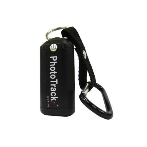
The workmanship is very good. Resolution and accuracy of the tracks are also very good. However, the altitude readings are doubtful, but that is leigen in the nature of things and in the mountains it may come in a few Meterchen not more or less. The documentation is concerned almost exclusively with the software. Cold Start and Auto Track in motion are neglected. Since I still have to experiment.
Now I come to the software. My PhotoTrackr was a Windows CD with authentication key. Without Internet connection, the installed software can not be started. Furthermore, it requires the DotNet Framework. Nor should you install the software on 3 PCs. That's understandable, because the Windows software version is simply scrap. When synchronizing the camera time with the GPS time the software crashes regelmaßig. Furthermore, there are sometimes transmission errors, causing the virtual COM port is not released to the USB. You must then restart the computer, or plug the tracker to another port.
On the Gisteq- (manufacturer) Web page is a code-free Windows and Mac can be downloaded version. The Mac version is very stable, with no Abswtürze the USB port.
I would therefore like to point out the project Sorceforge- BT747, where an open-source operating software is developed, which is much better than the bundled software and should run on all operating systems (I can confirm Windows7, Win98 and OSX Snwoleopard.). With this software, you can use some hidden features of the tracker and also work with OpenStreetMap maps. Despite the quirks of the original software I therefore give it 5 stars.