GPS've recently purchased only for jogging. Own a K800i. Will soon buy me a Forerunner, but it was not yet available, so I thought you käufst for 25 Euros once that thing and are testing it a try.
So:
To prevent the GPRS traffic as far as possible, I have previously tried to alternatives. Because the software "Tracker" does not export files that you can watch later in Google Earth, I had to seek an alternative program me anyway. So I have already occupied myself with "TrekBuddy". The incorporation into this program is connected to something greater expense. But I have been able to save on your mobile phone without spending GPRS to use maps. Since I am running technique anyway move only in a section of 50x50km I could load these cards (30 MB) on your mobile phone. But the function of the navigation was me personally not really so important.
My unit was much more important the exact measurement of the running plug and since "failed" unfortunately.
So far I have measured out my runs via Google Earth (MapMyRun). The amounts measured by HGE100 route, however, shows already when viewing many zigzag courses and incomprehensible double coordinates. By inaccuracy or (I think) Reception weakness forms a zigzag course in a straight line, which means a margin of error of 200 meters at 5 km according to my previous experience of just 10 runs. My Home Round exactly 5.4 kilometers is measures of HGE with scarce 5.7 km.
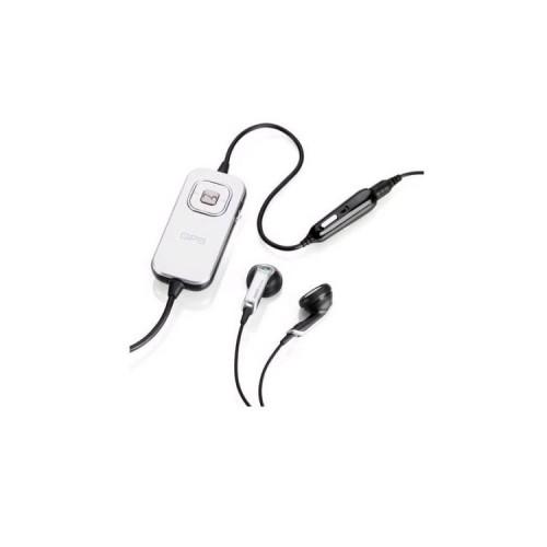
The device itself is quite simple processed. The plastic switch does not seem to hold really long, however, he does not have with me, because the device is now languish somewhere in the corner.
Cell phone I have indeed always there, however, the mounting of the GPS on summer jogging clothes is also not easy.
Conclusion: I'm going to use this device for measuring at most of tracks I via Google Earth can not measure (not illustrated forest paths) or to navigate while running a little bit. Otherwise unsuitable for me.