
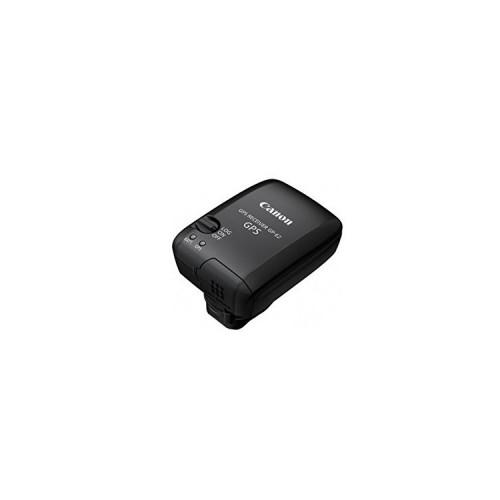
- The image info about the location of the software with the integration of Google Earth
- The log information about the itinerary (if necessary with Google Earth.)
- Super-simple operation of the program and the product
What I do not like:
- Despite the best conditions the unit logged only after minutes the satellites (here will probably be obtained in advance nor the NSA approval ...)
- In LOG mode can not be retrieved the temporal course (but since I have a request from Canon run)
It's annoying and therefore not quite the "Excellence" - feed back


![NBA 2K14 - [Xbox One] (Video Game)](https://img.tgreer.com/thumb/85x85/2/b8/2b811a366abf871d36e0c0f763e938b1.jpg)


